Brief description of fishery:
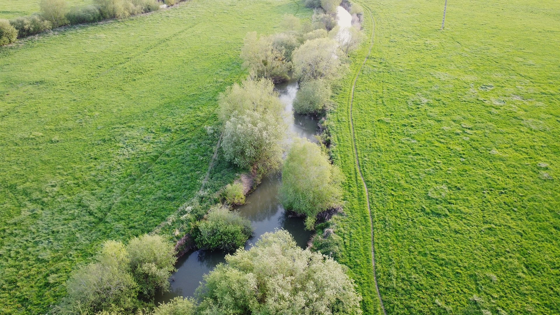
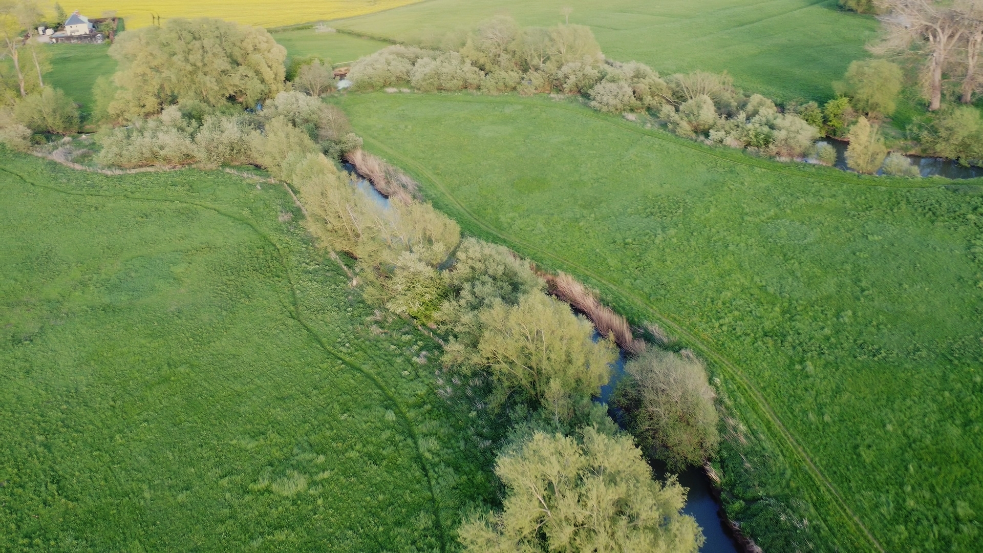
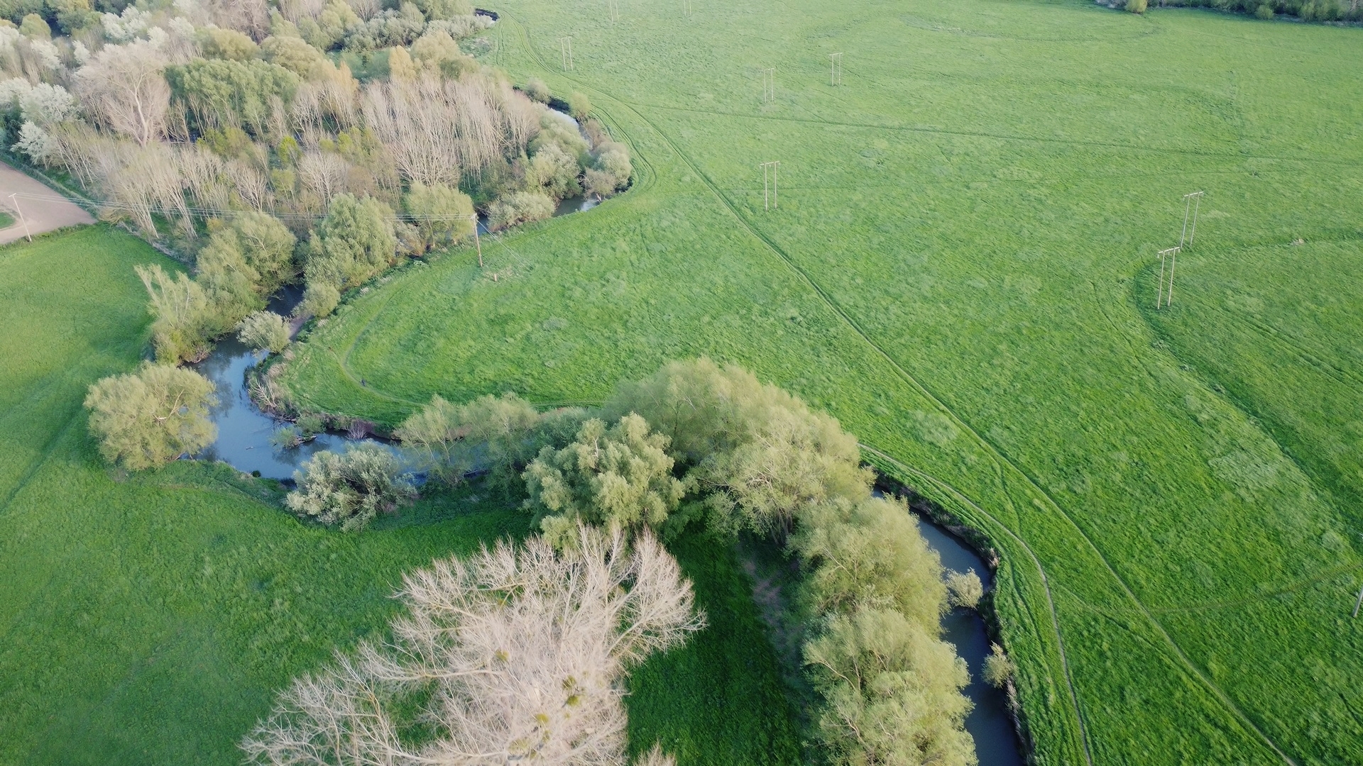
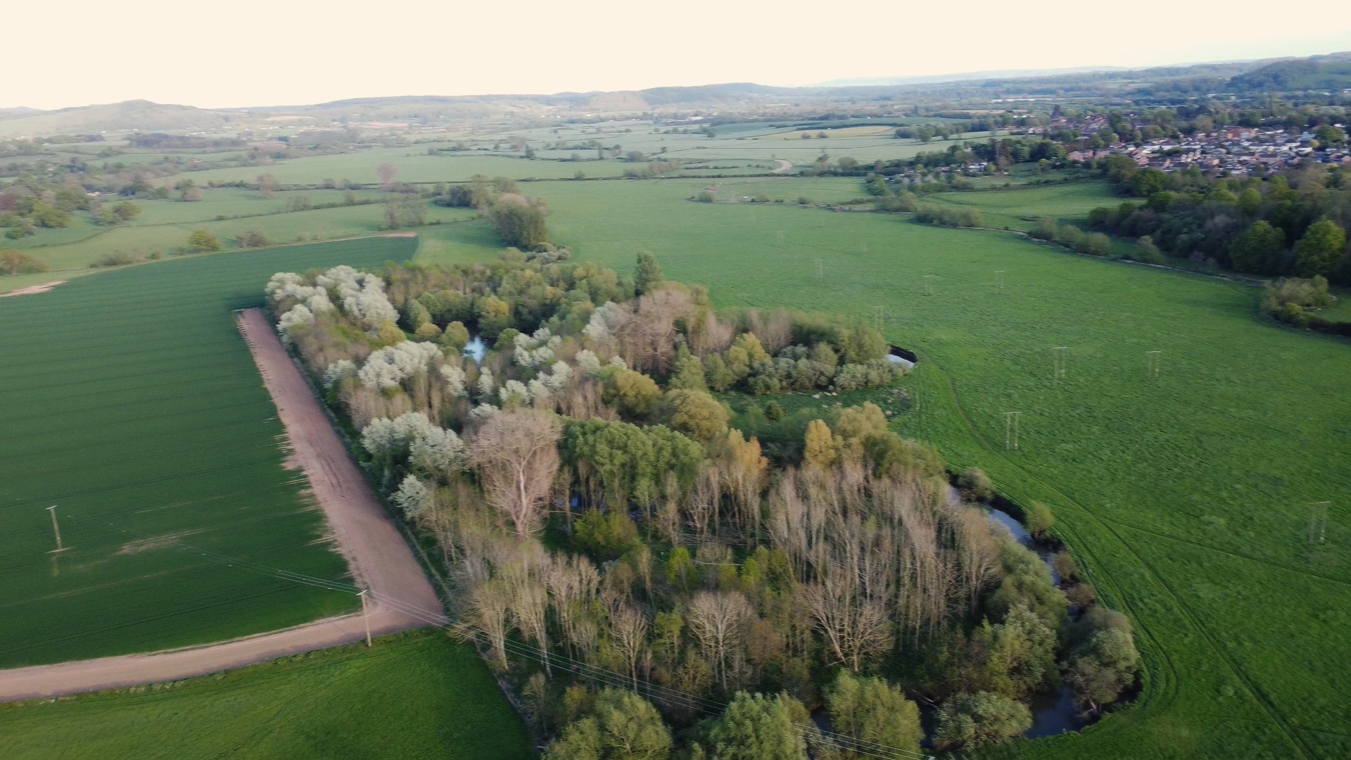
The Lugg here reverts to a more meandering course as it flows downstream towards Lugwardine Bridge. Again the water is a mixture of gravelly runs interspersed with slower deeper stretches. Barbel Chub and Dace are the main coarse species here although perch. pike and occasional roach are also present. Barbel and Chub can be caught on all the usual baits, but Halibut pellets often work better for the Barbel. There is plenty of bankside cover all along this stretch so a roving approach may be your best bet.
Address
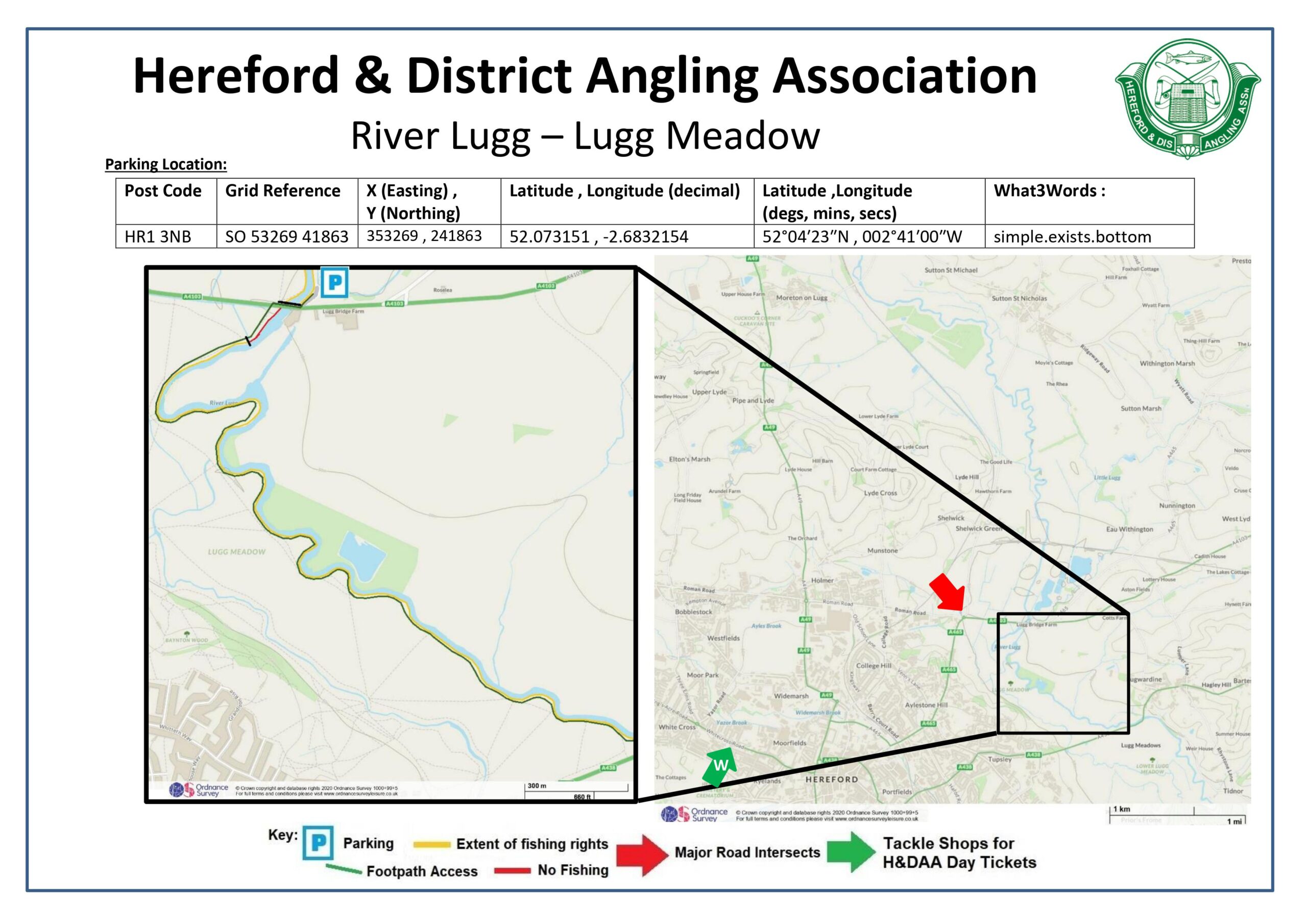
Parking Location :
Farm Track NE of Lugg Mills Bridge A4103 Hereford HR1 3NB
Post Code: HR1 3NB
Grid Reference: SO 53269 41863
X (Easting) , Y (Northing): 353269 , 241863
Latitude , Longitude (decimal): 52.073151 , -2.6832154
Latitude ,Longitude(degs, mins, secs): 52°04′23″N , 002°41′00″W
What3Words : simple.exists.bottom
Access & Parking
The River Lugg – Lugg Meadow is south of Lugg Mills Bridge which is located on the Worcester Road (A4103) approximately 4 miles North East of Hereford.
From Hereford:
Leave Hereford on the A465 towards Bromyard. Pass the railway station and continue up Aylestone Hill towards the colleges. At the top of the hill continue straight over and down the other side until you reach the next roundabout. Take the third exit signposted Worcester and continue along this road for 0.5 miles until you reach Lugg Mills Bridge over the river. Cross the bridge and turn immediately left down a single track road, park either side of the track avoiding any gateways and not blocking access.
From Worcester:
Follow the A4103 from Worcester to the outskirts of Hereford just after the junction with the A465 to Bromyard, turn right down a single track road just before passing over Lugg Mills Bridge, and park either side of the track avoiding any gateways and not blocking access.
Maps


Species
- Barbel
- Brown Trout
- Chub
- Dace
- Eel
- Grayling
- Perch
- Pike
- Roach
- Salmon