Brief description of fishery:
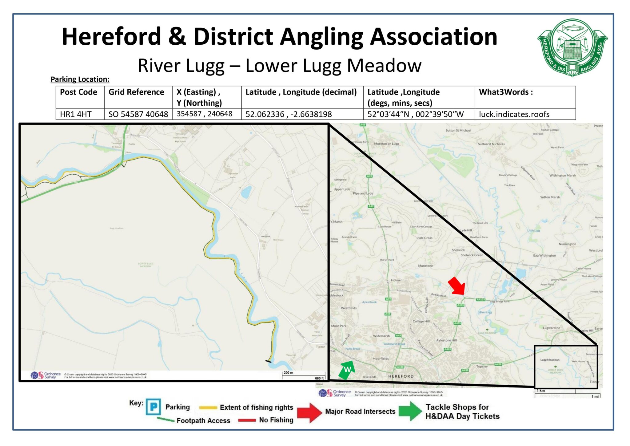
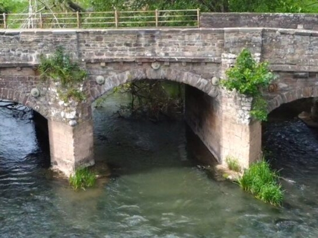
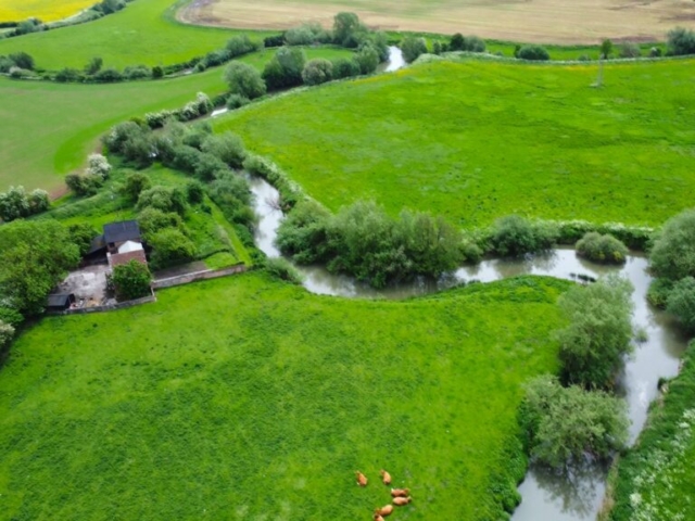
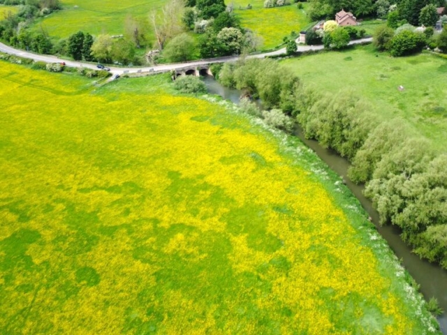
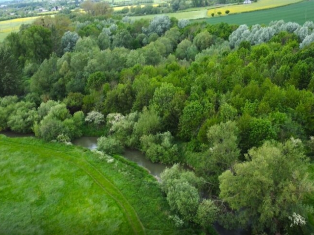
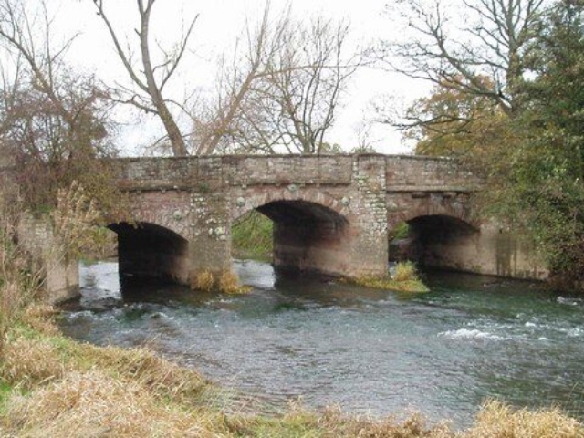
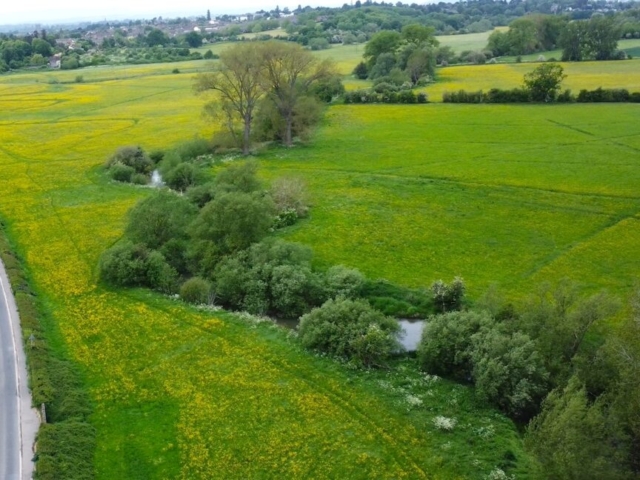
The fishing at Lugwardine Bridge is on an area of meadowland known as the Lugg Meadows and fishing here extends both upstream and downstream of the bridge on the right bank. It generally consists of shallow gravelly runs interspersed with deeper glides. The Lugg Meadows is designated as an SSSI and regularly floods in the winter months. Anglers should always keep to the riverside paths as during the Spring/ Summer access across the meadows is restricted due to ground-nesting Curlews, a nationally endangered species. There is plenty of bankside cover and gravel beaches. Dace and Chub are the main species in this section but Brown Trout and Grayling are also present. Again a roving approach is probably the best option baiting several swims and fishing them in rotation. This is a good area for fly fishing.
Address
Location :
A438, Lugwardine Hereford HR1 4HT
Post Code: HR1 4HT
Grid Reference: SO 54587 40648
X (Easting) , Y (Northing): 354587 , 240648
Latitude , Longitude (decimal): 52.062336 , -2.6638198
Latitude ,Longitude(degs, mins, secs): 52°03′44″N , 002°39′50″W
What3Words : luck.indicates.roofs
Access & Parking
Species
- Barbel
- Brown Trout
- Chub
- Dace
- Eel
- Grayling
- Pike
- Salmon
